 ← PreviousDiscovering Ontario's beaches, or trying to dodge the raindrops
Saturday 25 July
We'd finally reached Manitoulin Island, and the irony was that the 700-kilometre detour had cost us less than the ferry thanks to the Hyundai Elantra's modest fuel consumption. At last we could fully enjoy the landscapes of the largest freshwater island in the world. A peaceful atmosphere reigned, and the locals all had smiles on their faces. Admittedly, life didn't seem hard for them: they lived by the water and almost all owned a boat which, when it wasn't in the paved driveway of their house, spent most of its time gliding over the clear surface of Lake Huron. We'd found the municipal beach in Mindemoya, which was really a strip of grass by the water, and we made the most of its peace to wade in the shallows. The water was incredibly clear and, going by the usual clichés, would have looked more at home in the Caribbean than in Ontario.
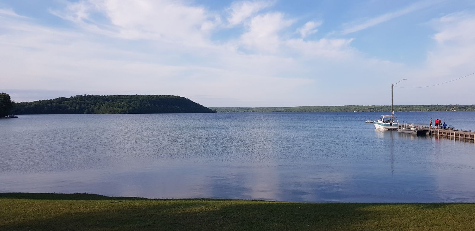
The place was incredibly beautiful, and we took the chance to call our families. Because, although we were lucky enough to be living the chance of a lifetime, crossing Canada at our own pace, we badly missed our parents, relatives and friends! We stayed chatting for a few hours, as we could count on three things: good signal, a free afternoon and enough sun for our solar panel to work. It felt so good to share a magnificent place with them and hear their voices. This little beach was so quiet that we decided to stay the night. Sometimes you have to know when to stay put and enjoy what's in front of you.
Sunday 26 July
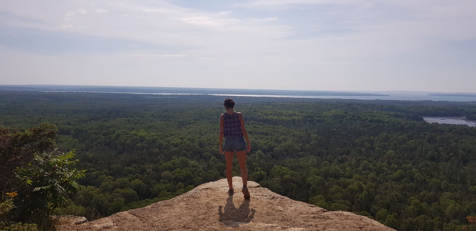
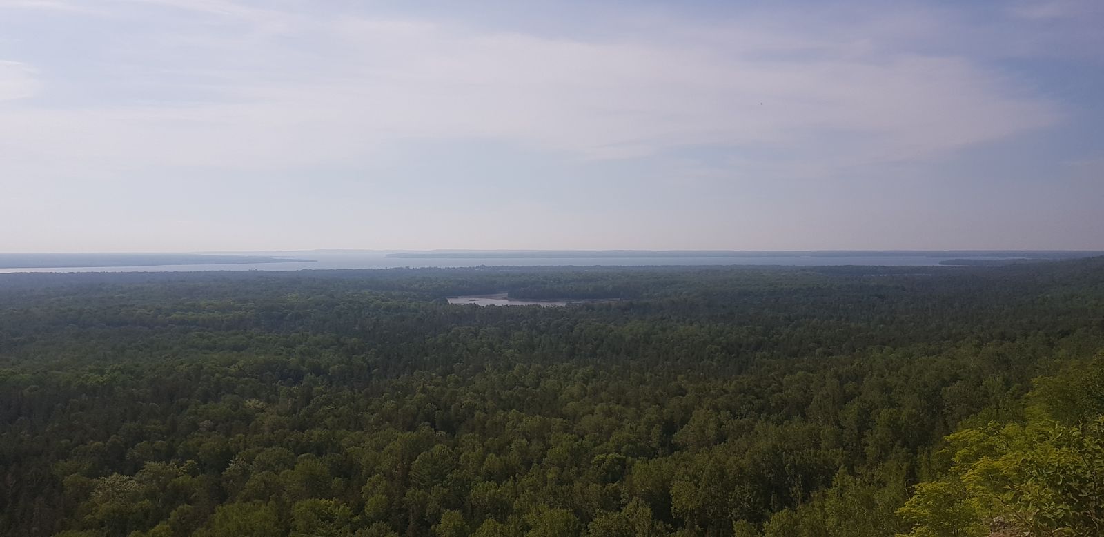
Early in the morning we tackled Manitoulin Island's most popular hike, a three-hour walk along the top of the rocky escarpment with endless views over the island's relief and the surrounding lakes. After this good warm-up, we took the wheel for several hours of driving, making quick stops to fill up with petrol, buy food and fill our water jug ahead of the three days and three nights of camping to come. In theory we could have refilled with water in the provincial parks we planned to visit, but you can never be too careful, especially with water.
As we headed west along the north shore of Lake Huron, the weather gradually turned. When we reached Sault Ste. Marie, a border town with the state of Michigan where Lake Superior meets Lake Huron, we decided to stop at a café for an afternoon snack. Right at that moment, heavy rain began to fall, and it only stopped an hour later. Since our stop for the day was Harmony Beach, a little beachside hamlet 20 kilometres away, we decided to press on to our final destination. The rain had indeed stopped, but thick fog lined the road. It was like Ireland, winding like that between green hills drowned in mist.
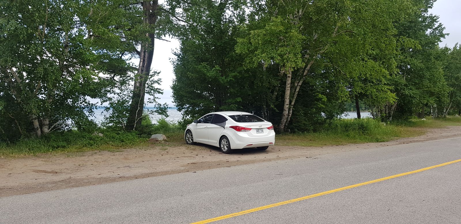
Harmony Beach wasn't really a village as such, more a string of a few holiday homes and a campsite along Lake Superior, the largest freshwater lake on the planet. The weather was discouraging and there weren't many people walking on the beach that day. Although it was grey, it was extremely muggy, with a "feels like" of 36 degrees and 97% humidity. We were far from the French climate; this constant humidity reminded us more of Colombia or Guadeloupe. Without a second thought we put on our swimsuits, and surprisingly the water was warm! It must have been around 23 degrees, which was surprising given that this part of the lake was still frozen a few months earlier. Unlike the beaches of the Bruce Peninsula, there were no rocks here: Harmony Beach had fine sand worthy of a classic seaside beach, and once again the water was translucent. No doubt the beach must be magnificent in fine weather. Ontario's weather was decidedly fickle these days, but that's normal in the Great Lakes region. High temperatures and humidity rarely mix well. We'd planned to camp on the beach, but as it had rained and the sand was wet, we finally decided to spend the night in the car and put off wild camping until the next day.
Monday 27 July
"Oh, you're the smart one!" an old lady remarked to Cassandre as we passed her on a bend in a trail in Pancake Bay Provincial Park. She was praising Cass's presence of mind in wearing her mosquito net around her head. It made her look like a beekeeper, but it did the job: keeping away the many mosquitoes lying in wait for us like teenagers waiting for a food delivery. The moment we brushed the slightest shrub or fern, clouds of insects came out, curious and ready to devour us. It was a constant in Ontario: hiking trails were very poorly marked. After some observation, it became clear to us that the signs had been put up when the vegetation hadn't yet grown back, because they were often hidden by the imposing Canadian trees. Pancake Bay, named for its pancake-shaped rocks and sandy beach, was no exception, and what was bound to happen one day happened: we got lost.
In the car park, an information board said you could do three routes: a simple one to the viewpoint over the bay, a five-kilometre loop and an even bigger eight-kilometre one. That's the one we headed for, light-footed and fresh-legged, when it wasn't even ten in the morning yet. We were completely alone, the forest was silent and we walked at a good pace. The path was wide and well designed as long as it stayed on the first two routes. As soon as we left them for the third loop, though, the vegetation became denser, sometimes completely hiding the way. We walked practically through ferns for a while before sighing with relief when we came out… only to realise we were back at a point we'd already passed.
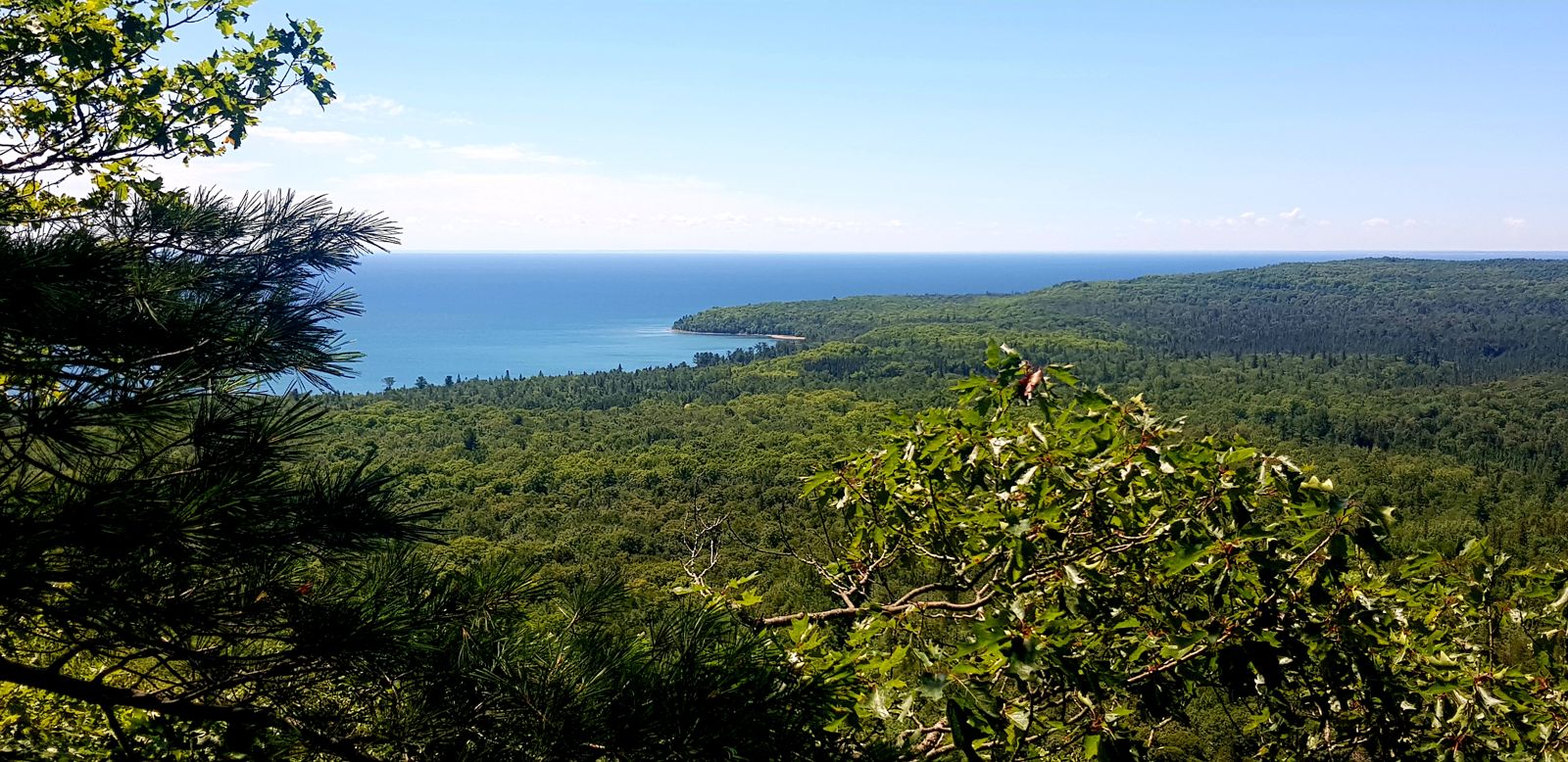
We checked an app and realised we'd taken a wrong turn, even though we hadn't seen any sign. After exploring a dozen countries, it was the first time we'd got lost hiking, and our troubles weren't over, because we missed the trail again. Using the Maps.Me app, we found our way and located the tiny path back into the forest. A hike that should have taken two hours ended up taking more than three, and even the superb panorama from the viewpoint wasn't enough to satisfy us.
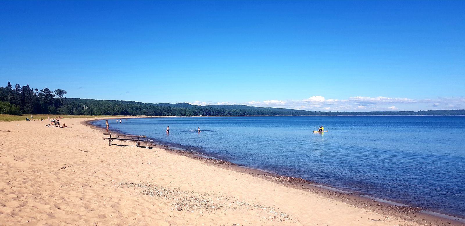
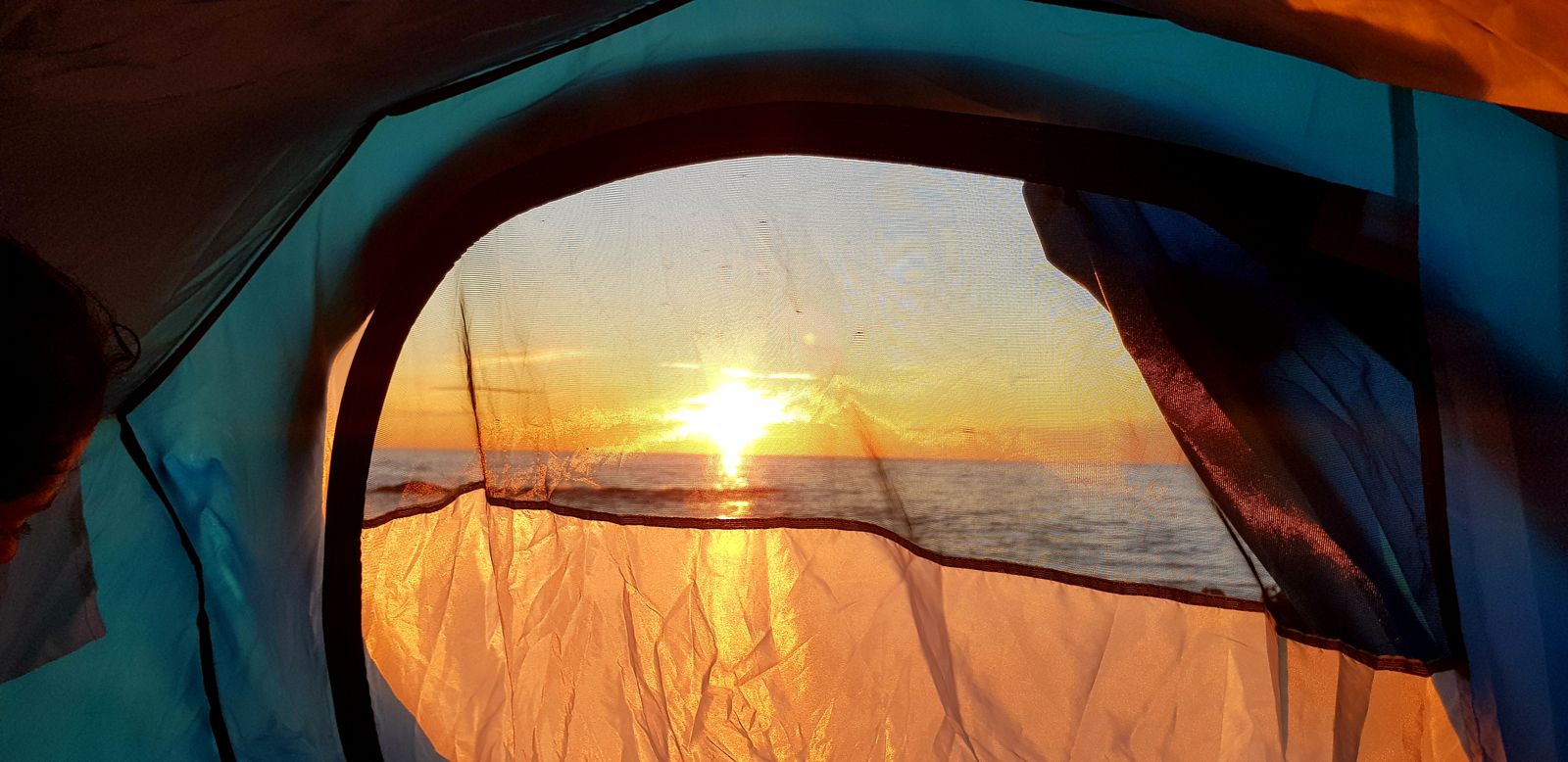
But the park was best known among holidaymakers for its superb beach, which wouldn't look out of place in Australia, and we enjoyed it for the rest of the afternoon. This sunbathing stop gave us a rest and a wash right in the lake. We were starting to reach less populated parts of Ontario, which is why free camps were becoming more common. We'd spotted one on WikiCamps, and after filling up with petrol and doing some shopping, we went to check whether it would do for a night. The answer was more than positive: the spot was perfect! Nestled on a little ridge on the shore of Lake Superior, it had room for several campers, and a couple was already there with a big converted 4x4. We pitched our tent and cooked while enjoying the sunset, which gave off incomparable colours as it sank below the horizon. "Every sunset is different; you can never tire of them," as the saying goes, and we were starting to think it was true.