 ← PreviousMust-sees on Île d'Orléans, Québec
4 October 2019
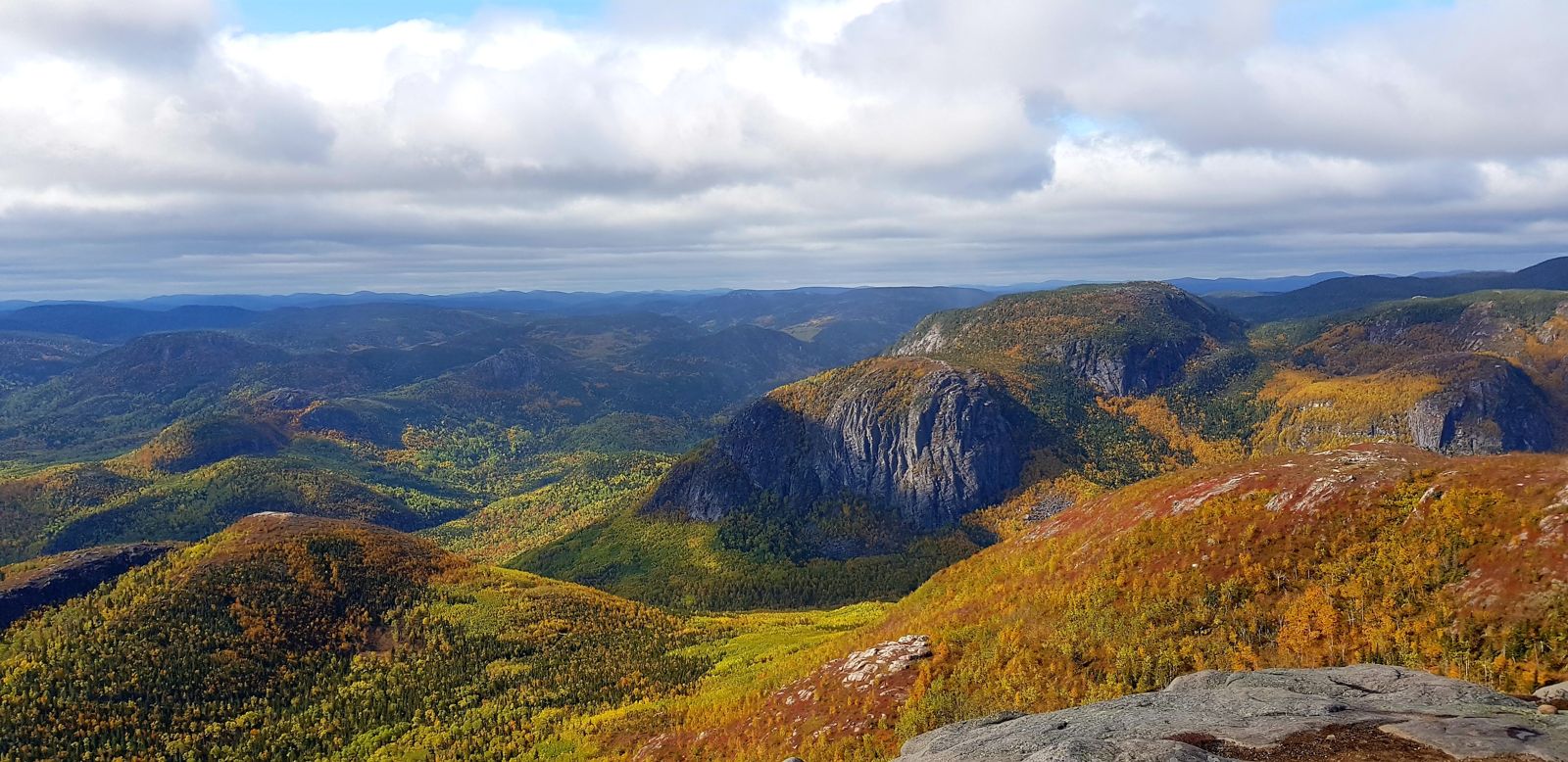
Travelling on crutches had undeniable drawbacks, but it offered one major advantage on our visit to Grands-Jardins National Park. The regular clack of the crutch at every step on the stony trail kept away the black bears, which are numerous in the Charlevoix region. They weren't fundamentally dangerous, but a sign at the start of the Mont du Lac-des-Cygnes trail warned that it was best to avoid them. So we set off cautiously on a four-hour walk with a reasonable climb. The gentle slope let us climb at a good pace while admiring the magnificent display of Québec trees carpeting the slopes of the Laurentian mountains.
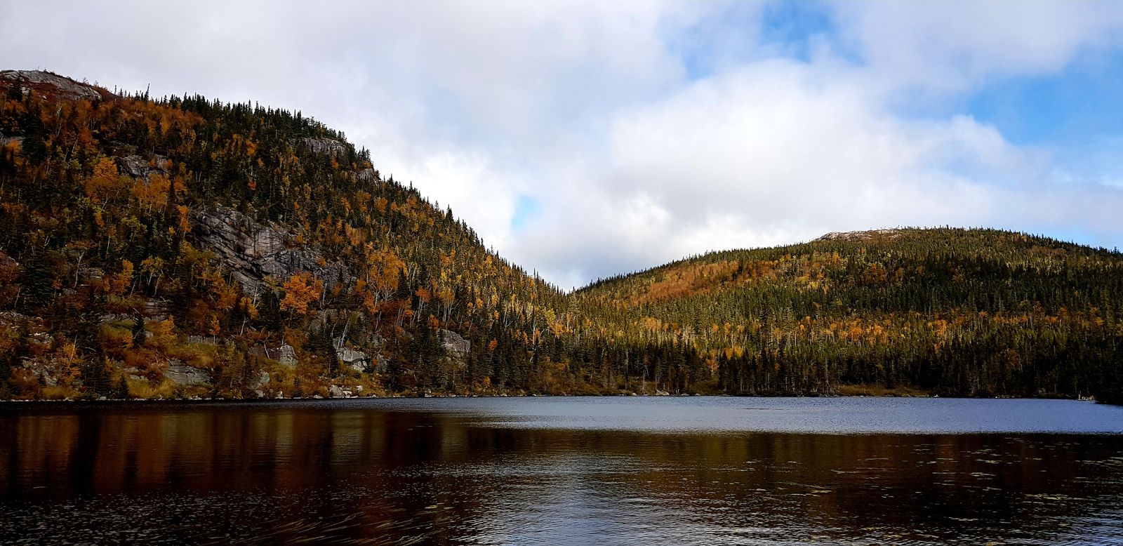
Information boards at regular intervals told us about the geological process that created the surrounding mountains. We learned obscure terms about the formation and retreat of glaciers in this valley. We didn't see much wildlife apart from a few little squirrels and birds flitting from branch to branch. After an hour's effort, we reached Lac des Cygnes, a charming high-altitude lake. A wooden refuge stood on its shore, giving the scene a postcard look. We didn't stop and carried on climbing towards the summit at 980 metres. Snow surprised us soon after: sparse, thin flakes had settled delicately on the edges of the path where the sun couldn't get through. We redoubled our vigilance so as not to slip, until at last we caught sight of the top.
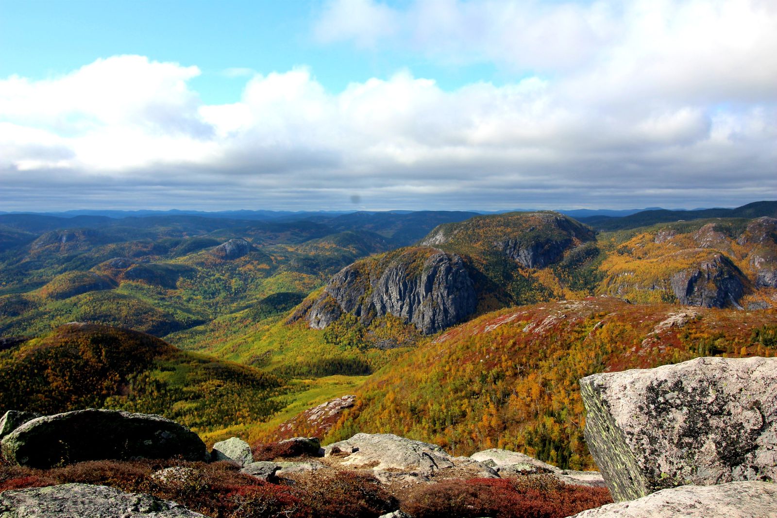
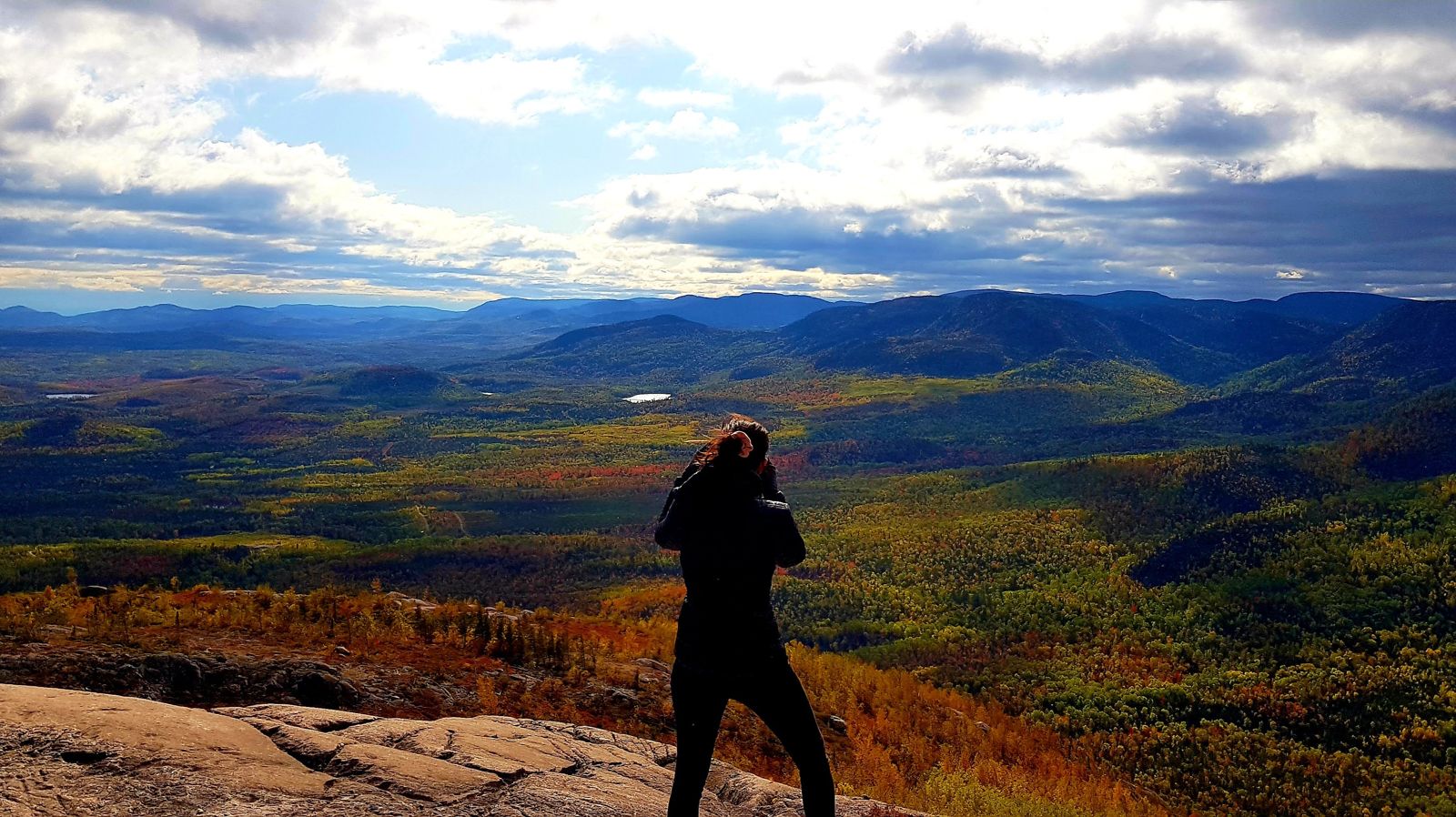
The wind was blowing extremely hard over the last few metres, and even harder on the summit plateau. A thermometer told us the temperature was already below freezing, minus one degree. It was hard not to be chilled to the bone, but we still took the time to admire the sublime panorama of mountains covered in yellow and orange forests and capture the moment with our camera. Frozen, we came down more quickly to have lunch in the refuge alongside a school group.
On the second trail, called La Chouenne, we learned that a fire caused by a careless camper had destroyed more than 30% of the park in 1991, which explains the big differences in colour across the landscape. We could clearly make out the boundary of the burned area by looking at the colours of the older trees. The viewpoint at the top of La Chouenne was just as exposed to the wind as the previous one, and just as beautiful. We stayed gazing at the landscape until we reached the limit of our tolerance for the cold. After thirteen kilometres and four and a half hours of hiking, we were glad to get back into our warm car and drive towards the park exit.
As the region is famous for its farm produce, we wanted to take advantage of this local know-how to taste some regional food. We stopped at the Maison d'affinage Maurice Dufour, a family cheesemaker, and set our hearts on a tomme that would be our lunch the next day. We then stopped at a historic dairy, then a bakery, before reaching the village of Saint-Joseph-de-la-Rive. The road there plunged steeply towards the St Lawrence and gave us a striking view. The village, on the riverbank, belongs to the association of Québec's most beautiful villages. We walked along the waterfront, then drove on to Baie-Saint-Paul, where we were staying. Once there, we had a hot chocolate in a "brûlerie", the Québécois word for a coffee house. After a good shower, a bit of writing and some stretching, we went out to dinner at the Café des Artistes, where we tried French onion soup topped with cheese, a Québec classic. A treat!
5 October 2019
Bags packed: check. Breakfast wolfed down: check. Leaving the Auberge des Balcons: check. The inevitable Québécois glued to our bumper whatever our speed: check too. On the road to Hautes-Gorges-de-la-Rivière-Malbaie National Park, a clear blue sky kept us company, promising a magnificent day. In less than an hour on a winding road, we reached the park entrance. We had to leave our car in the car park at the entrance, as at weekends Québec's national parks run a shuttle system. The shuttles pick up visitors at the starting point and drop them at the different trailheads.
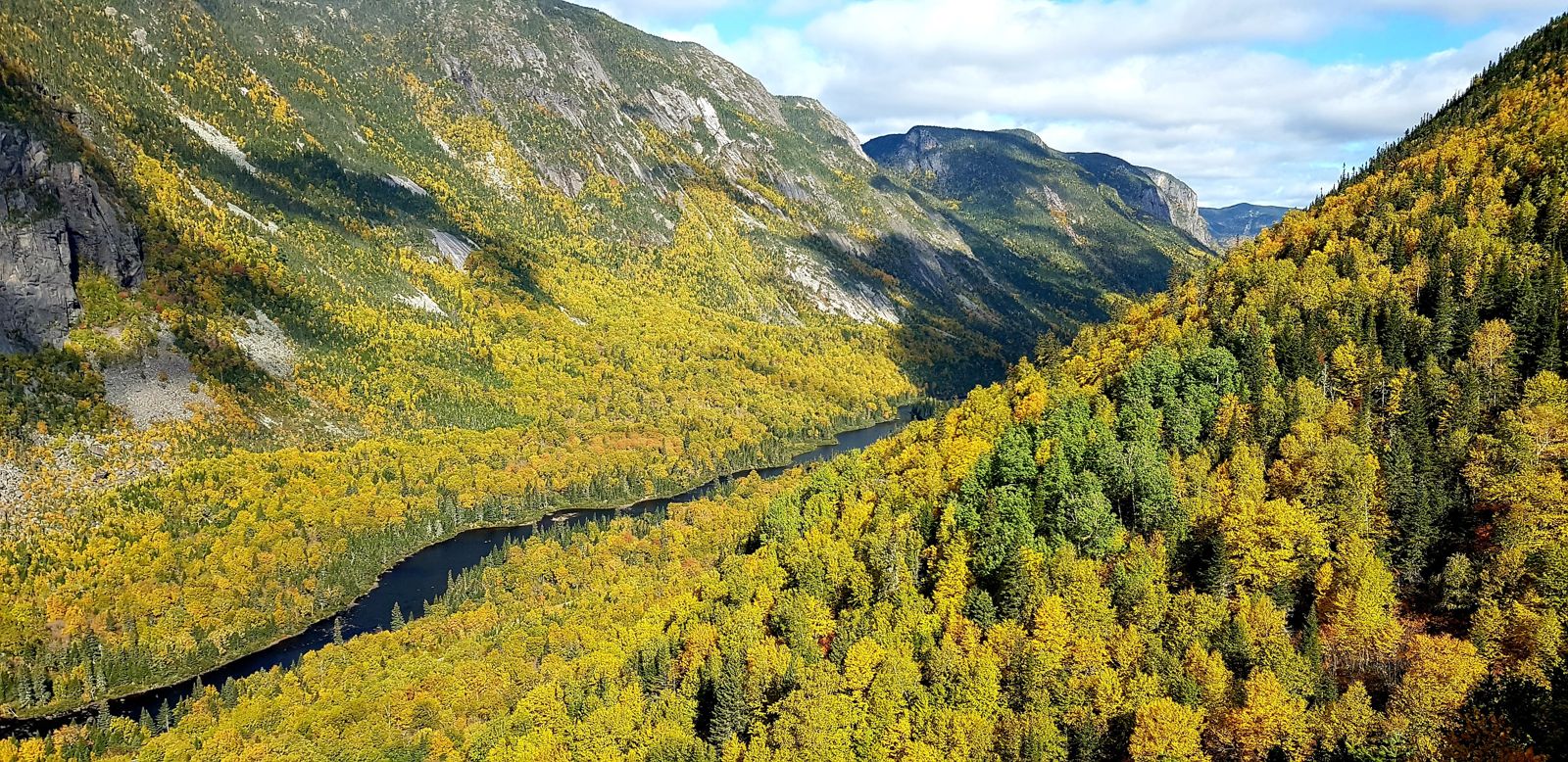
Out of a touch of masochism, we opted for L'Acropole-des-Draveurs, named after a poem by Félix-Antoine Savard. From the top of this mountain he'd watched the "draveurs", the log drivers who guided timber down the rivers. But behind this poetic name lies the toughest hiking trail in Québec. From the first kilometres, the climb was enough to discourage the less daring, with nearly 400 metres of ascent in just two kilometres. But it was Saturday and the weather was glorious, which explained the crowds on this almost legendary trail that promised a superb view at the top.
We walked at a moderate but steady pace, sometimes overtaking other walkers, but often being overtaken. Some locals, on foot as on the road, tailgated us to show their displeasure at our pace. We'd noticed that Québécois didn't seem to know the rules of hiking etiquette: no greeting when passing, no priority for hikers going uphill; everyone pressed on head down without caring about others. If the path narrowed, don't expect to be let through; they'd squeeze past even where there was no room. And if you stepped aside to let someone faster or coming the other way pass, don't expect any thanks. We'd never felt such a lack of courtesy on a hike, and it annoyed us at times. But nothing would have stopped us in our tracks or kept us from enjoying the experience, and in exactly two hours we reached the first of the three summits.
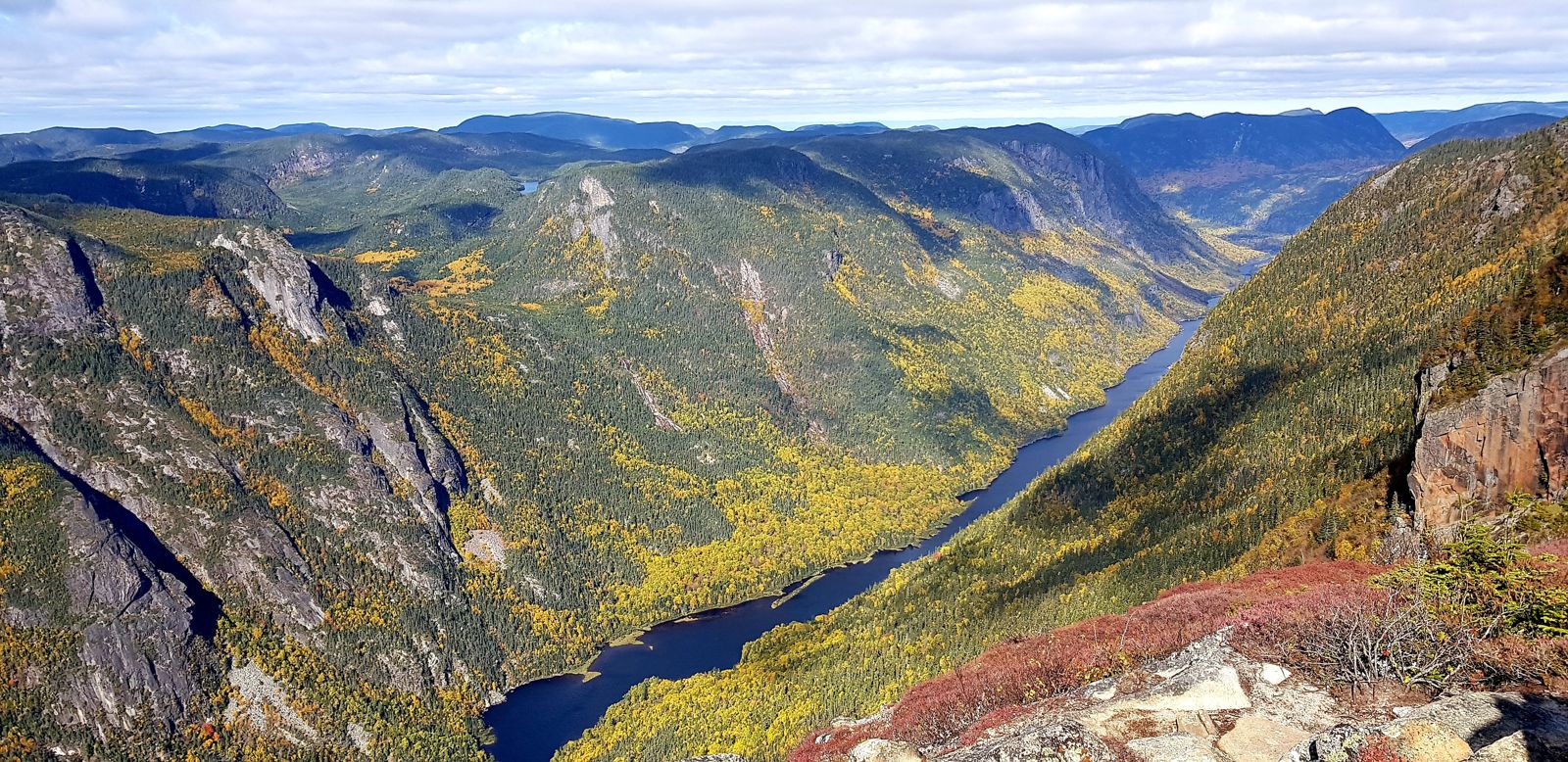
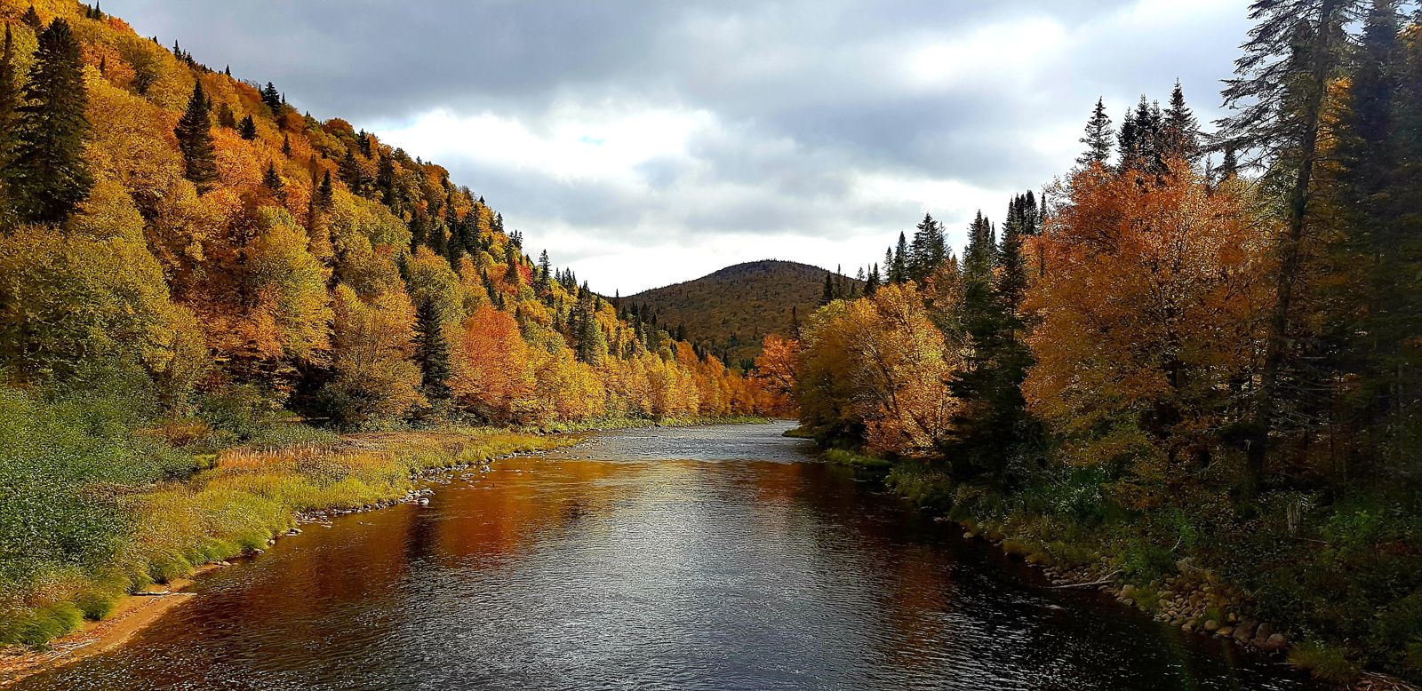
The panorama over the UNESCO-protected Charlevoix World Biosphere Reserve was absolutely stunning. Beneath our feet, in a 700-metre drop, stretched the highest cliffs in eastern Canada, framing the winding Malbaie River. We continued towards the second and third summits, admiring the ridgeline covered with a carpet of trees, greenery and ancient rocks, remnants of the Canadian Shield. The cold and the biting wind persisted, but we finally reached the end of the trail, where we stopped to eat. It was hard to imagine a better place for a picnic, and tired from the effort, we nibbled in silence, eyes lost in the immensity before us. In the distance we could see wild lakes that we imagined unexplored and home to magnificent wildlife.
Unfortunately, the harsh climate forced us to leave before we froze on the spot. The descent was paradoxically harder than the climb, as our joints were already strained, and Cassandre's right foot was still hurting. At our gentle pace, we reached the bottom in two hours, worn out by the repeated jolts to our legs. The arrival of the yellow American-style school bus acting as a shuttle felt like a deliverance and the end of an ordeal. At the visitor centre we sat on a bench in the sun for a long time, tired but happy.